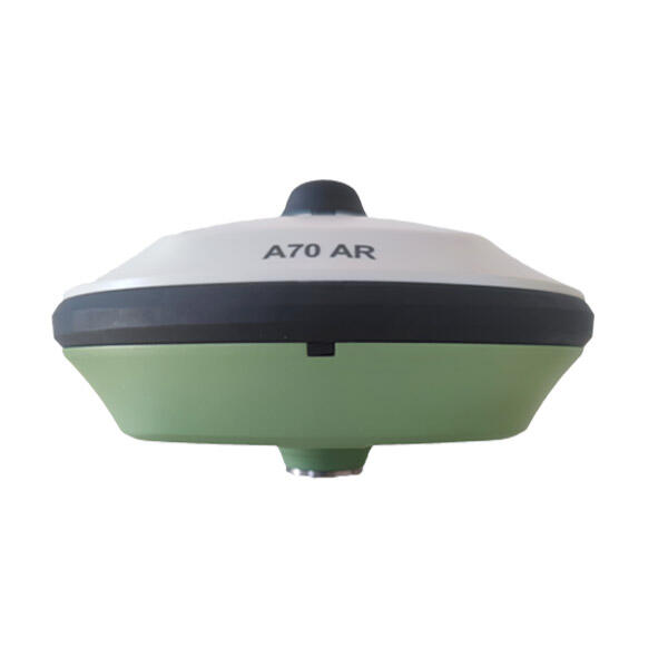
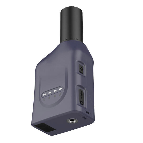
rtk gnss rover
The RTK GNSS rover represents a revolutionary advancement in high-precision positioning technology, combining Real-Time Kinematic positioning with Global Navigation Satellite Systems to deliver centimeter-level accuracy. This sophisticated surveying instrument integrates multiple satellite constellations including GPS, GLONASS, Galileo, and BeiDou, ensuring optimal coverage and reliability across diverse environments. The system consists of a base station and a mobile rover unit, working in tandem to provide real-time corrections and precise positioning data. Modern RTK GNSS rovers feature advanced interference mitigation, multi-frequency tracking capabilities, and robust communication protocols that maintain accuracy even in challenging conditions. These devices typically incorporate state-of-the-art tilt compensation technology, allowing for accurate measurements even when the pole isn't perfectly plumb. The integration of wireless connectivity enables seamless data transmission and remote access to correction services, while built-in quality control mechanisms continuously monitor measurement reliability and accuracy. The rover's user interface is designed for intuitive operation, featuring touchscreen displays and customizable workflows that streamline field operations.