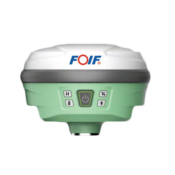
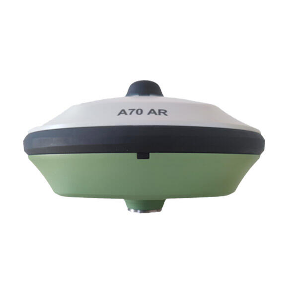
foif a90 gps rtk gnss
The FOIF A90 GPS RTK GNSS system represents a cutting-edge solution in high-precision positioning technology. This advanced surveying instrument combines multi-constellation GNSS capability with RTK technology to deliver centimeter-level accuracy in real-time. The system features a robust design with an integrated antenna and receiver, capable of tracking multiple satellite signals including GPS, GLONASS, Galileo, and BeiDou. The A90 incorporates advanced interference mitigation technology and superior multipath resistance, ensuring reliable performance even in challenging environments. The device boasts rapid initialization times, typically under 10 seconds, and maintains consistent accuracy across various operating conditions. With its built-in 4G modem and Bluetooth connectivity, the A90 enables seamless data transmission and remote operation. The system's internal battery provides up to 12 hours of continuous operation, while its IP67 rating ensures protection against dust and water. The user interface is intuitive, featuring a clear display and simple operation controls, making it accessible for both experienced surveyors and newcomers to the field. The A90's versatility makes it suitable for applications ranging from construction and mining to precision agriculture and GIS data collection.