handheld rtk
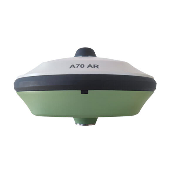
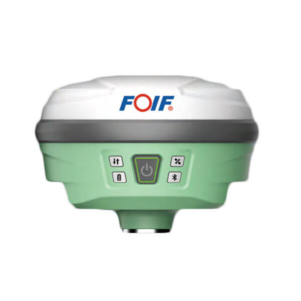
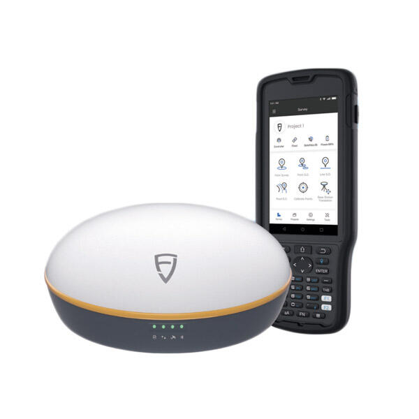
The handheld RTK (Real-Time Kinematic) device represents a significant advancement in precision positioning technology, offering centimeter-level accuracy in a portable format. This sophisticated navigation tool combines GNSS technology with real-time correction data to deliver precise positioning capabilities in various field applications. The device typically features a robust design with an intuitive interface, making it suitable for both professional surveyors and field operators. It integrates multiple satellite constellation support, including GPS, GLONASS, Galileo, and BeiDou, ensuring comprehensive coverage and reliable performance across different geographical locations. The handheld RTK incorporates advanced error correction algorithms and radio or cellular connectivity options for receiving correction data from base stations or network services. Most models include high-resolution displays, long-lasting batteries, and internal storage for data collection. The device's versatility allows it to function effectively in challenging environments, from urban canyons to remote locations, while maintaining consistent accuracy levels. Modern handheld RTKs often feature wireless connectivity options, including Bluetooth and Wi-Fi, enabling seamless data transfer and integration with other surveying equipment and software platforms.


