Choosing the right field tool can make or break a survey project. A GIS data collector is a purpose-built device that combines high-accuracy GNSS positioning with rugged data capture capabilities, allowing surveyors and GIS professionals to record spatial attributes directly in the field. But not every project demands one, and understanding the precise conditions under which this tool becomes essential can save time, reduce rework, and significantly improve data quality.
A GIS data collector is not just a GPS unit — it is an integrated field computing system designed to handle structured spatial data collection with configurable forms, real-time coordinate logging, and often multi-constellation satellite support. Knowing when to deploy one requires an honest assessment of project scale, accuracy requirements, field conditions, and downstream data workflows. This article outlines the key scenarios and decision signals that indicate a GIS data collector is the right choice for your survey work.
Understanding the Core Purpose of a GIS Data Collector
What Sets It Apart from General Field Devices
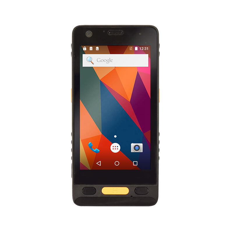
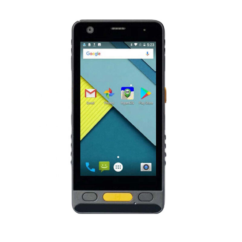
A GIS data collector differs from a standard tablet or smartphone primarily in its engineering priorities. These devices are built for sub-meter to centimeter-level GNSS accuracy, often supporting real-time kinematic (RTK) corrections or post-processing workflows. The hardware is ruggedized to meet IP67 or higher ingress protection ratings, meaning the device can function reliably in rain, dust, mud, and extreme temperatures.
Beyond hardware, a GIS data collector typically runs specialized field data software that links coordinate capture directly to attribute entry forms. This integration prevents the common disconnection between location data and descriptive data that occurs when teams use generic consumer devices. The result is a clean, structured dataset that enters GIS platforms without extensive reformatting.
When projects involve regulatory submissions, asset inventories, or engineering-grade mapping, the reliability and traceability offered by a dedicated GIS data collector becomes especially important. A general-purpose device simply cannot replicate the combination of positional integrity, data structure, and environmental durability that these tools provide.
The Role of Accuracy Thresholds in Tool Selection
Accuracy requirements are often the first signal that a GIS data collector is necessary. Projects that tolerate 5–10 meter positional uncertainty can sometimes use smartphone-based applications. However, once a project requires sub-meter accuracy — such as utility mapping, cadastral surveys, environmental monitoring, or infrastructure inspection — the specifications of a consumer device quickly become a liability.
A professional GIS data collector with multi-band GNSS support and correction capability can achieve horizontal accuracy well below one meter, and RTK-enabled models can reach centimeter-level precision in open-sky conditions. This level of performance is not optional when data will feed into planning systems, legal records, or engineering models. Choosing the wrong tool at this stage introduces errors that are costly to rectify after field collection is complete.
Surveyors should evaluate the accuracy specification of their GIS data collector against the tolerance requirements stated in their project brief before mobilizing. This single check prevents a significant category of field data failures.
Project Scenarios That Demand a GIS Data Collector
Utility and Infrastructure Asset Mapping
One of the most consistent use cases for a GIS data collector is utility and infrastructure asset mapping. When field crews need to record the precise location of power poles, manholes, fire hydrants, pipeline markers, or telecommunications cabinets, positional accuracy directly affects maintenance planning, emergency response, and regulatory compliance. A GIS data collector allows crews to capture each asset's coordinates simultaneously with its attributes — condition rating, material type, installation date, photo documentation — in a single workflow.
The alternative — recording positions on paper and attributes separately — introduces transcription errors and alignment problems that are difficult to trace after the fact. With a GIS data collector, every record is timestamped, georeferenced, and immediately usable within an asset management system. This efficiency is especially valuable when hundreds or thousands of assets must be surveyed within a tight timeline.
Field crews working on utility corridors also benefit from the rugged build of a GIS data collector. These environments expose equipment to weather, vibration, and accidental drops, and a device that fails mid-survey can stall an entire project. Industrial-grade durability is therefore not a luxury but a practical requirement.
Environmental and Natural Resource Surveys
Environmental professionals conducting habitat assessments, invasive species surveys, wetland delineations, or soil sampling programs rely heavily on a GIS data collector to tie biological observations to precise geographic coordinates. In these contexts, location accuracy directly influences scientific validity. A misplotted sample point can lead to incorrect interpolation models, flawed conservation plans, or failed regulatory reviews.
A GIS data collector also supports the complex attribute schemas common in environmental work. Survey teams can configure custom forms that capture species identifiers, density counts, canopy cover estimates, and photographic records — all linked to a georeferenced point. This structured approach eliminates the need for post-survey data merging and reduces the risk of losing field observations during manual transcription.
In remote and forested areas where mobile connectivity is unavailable, a GIS data collector that supports offline basemaps and local data storage becomes indispensable. Surveyors can continue working without any network connection and synchronize collected data once back in range. This capability alone justifies the investment in a dedicated GIS data collector for multi-day field campaigns.
Land and Cadastral Survey Support
While boundary determination in cadastral surveying typically requires licensed survey instruments such as total stations, a GIS data collector plays an important supporting role in this domain. Field teams use these devices to collect evidence points, photograph boundary markers, record existing improvements, and document encroachments. The positional data captured by a GIS data collector helps surveyors cross-reference field findings with historical records and aerial imagery.
In jurisdictions where digital parcel data must be submitted as part of subdivision or development applications, a GIS data collector with RTK capability can capture boundary corner positions that satisfy regulatory accuracy standards for initial submissions. This accelerates the early stages of land development projects and reduces the number of field visits required before a formal survey is lodged.
Timing Signals That Indicate Readiness to Deploy
When the Dataset Will Feed Directly into a GIS Platform
If the survey data will be ingested into a GIS platform such as ArcGIS, QGIS, or a custom spatial database, using a GIS data collector from the outset is the logical choice. These devices produce output formats — shapefiles, GeoJSON, CSV with coordinate fields — that align directly with GIS import workflows. This eliminates conversion steps, reduces formatting errors, and shortens the time between field collection and analysis.
Organizations that manage ongoing spatial datasets — such as municipalities tracking road conditions, utilities monitoring infrastructure age, or conservation agencies updating habitat maps — benefit from standardizing on a GIS data collector because it enforces consistent data schemas across survey cycles. This consistency is critical for change detection analysis and longitudinal reporting.
The moment a project manager confirms that collected data will go directly into a GIS workflow, that confirmation is itself a strong signal to deploy a GIS data collector rather than improvising with general-purpose tools. The upstream investment in the right device pays downstream dividends in data quality and processing speed.
When Field Conditions Make Consumer Devices Unreliable
Surveying often happens in conditions that are hostile to consumer electronics. A GIS data collector is engineered specifically for these environments. When surveys take place in rain, high humidity, dusty construction sites, or remote areas with no access to power outlets, the gap between a consumer device and a professional GIS data collector becomes immediately apparent.
Battery life is another critical factor. A GIS data collector typically offers extended battery performance under continuous GNSS logging conditions — often exceeding eight hours. Smartphones and tablets, by contrast, can drain rapidly when running GPS and data entry applications simultaneously in bright sunlight where screen brightness must be maximized.
Screen readability in direct sunlight is a feature that experienced surveyors frequently cite as a deciding factor. A GIS data collector with a high-brightness display rated for outdoor use allows operators to work efficiently without improvising shade solutions. This practical detail has a direct impact on survey productivity and data entry accuracy in the field.
Team and Workflow Factors That Influence the Decision
Multi-Person Survey Teams and Data Consistency
When survey teams involve multiple field operators collecting data simultaneously across different areas, using a standardized GIS data collector across all operators is important for data consistency. Each operator captures data in the same format, using the same coordinate system, with the same attribute structure. This alignment makes data merging straightforward and reduces the review burden on office GIS staff.
A GIS data collector also supports centralized form management in enterprise deployments. Survey managers can push updated attribute forms to all devices simultaneously, ensuring that a change in data requirements — a new field added to the schema, a revised condition rating system — propagates to every operator without requiring individual device reconfiguration. This centralized control is especially valuable in large infrastructure programs involving dozens of field personnel.
Consistency across the team also matters when data quality audits are required. A GIS data collector creates a traceable record of who collected what data, when, and at what positional accuracy. This audit trail supports quality assurance processes and provides defensible documentation if data accuracy is later questioned.
Repeat Survey Programs and Long-Term Data Management
Organizations that run repeat surveys — annual inspections, seasonal monitoring cycles, post-event damage assessments — benefit significantly from committing to a GIS data collector platform. Repeat surveys require data that is directly comparable across time periods, and this comparability depends on consistent positional accuracy, consistent attribute capture, and consistent coordinate reference systems.
A GIS data collector that supports the same software environment across survey cycles eliminates the variability introduced by ad-hoc tool switching. When the same device type and software configuration is used year after year, temporal comparisons become statistically valid and analytically reliable. This is the foundation for credible change detection work, whether in environmental monitoring, asset condition trending, or land use analysis.
For organizations building long-term spatial data programs, the initial decision to adopt a dedicated GIS data collector is not merely a field equipment choice — it is a data governance decision that shapes the quality and utility of spatial information for years to come.
FAQ
What level of GPS accuracy does a GIS data collector typically provide?
A professional GIS data collector can achieve sub-meter accuracy in standard GNSS mode, and centimeter-level accuracy when using RTK correction via a base station or network correction service. The specific accuracy depends on the device model, satellite constellation support, and local sky conditions. For projects requiring centimeter precision, selecting a GIS data collector with multi-band GNSS and RTK capability is essential.
Can a GIS data collector work without an internet connection in the field?
Yes. Most professional GIS data collectors are designed to operate fully offline. Operators can load basemaps, satellite imagery, and pre-configured data collection forms onto the device before entering the field. Collected data is stored locally and can be synchronized with a central database or GIS platform once connectivity is restored. This offline capability is one of the key reasons field teams choose a dedicated GIS data collector over consumer devices in remote survey environments.
How do I know if my project accuracy requirements justify a GIS data collector?
If your project brief specifies positional accuracy tighter than two meters, involves regulatory submissions, feeds data into an engineering or asset management system, or requires reproducible results for future comparison, a GIS data collector is almost certainly justified. Review the accuracy tolerances in your project specification and compare them against the GNSS performance specifications of the devices under consideration. If the required accuracy falls within the capability range of a dedicated GIS data collector and outside the reliable range of consumer alternatives, the decision is straightforward.
Is a GIS data collector suitable for small-scale or one-off survey projects?
A GIS data collector can be appropriate even for smaller projects when accuracy, field conditions, or data integration requirements meet the thresholds described throughout this article. For truly simple, low-accuracy, one-time tasks where data does not need to integrate with a spatial system, lighter alternatives may suffice. However, for any project where positional integrity, structured attribute capture, or environmental durability matters — regardless of project scale — deploying a GIS data collector remains the most reliable choice.
Table of Contents
- Understanding the Core Purpose of a GIS Data Collector
- Project Scenarios That Demand a GIS Data Collector
- Timing Signals That Indicate Readiness to Deploy
- Team and Workflow Factors That Influence the Decision
-
FAQ
- What level of GPS accuracy does a GIS data collector typically provide?
- Can a GIS data collector work without an internet connection in the field?
- How do I know if my project accuracy requirements justify a GIS data collector?
- Is a GIS data collector suitable for small-scale or one-off survey projects?