
 EN
EN
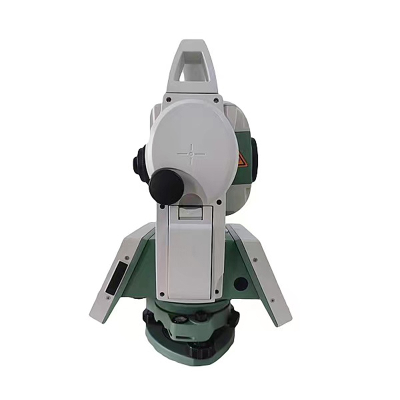
The total station represents one of the most significant technological advances in modern surveying and construction. This sophisticated instrument combines multiple measurement capabilities into a single platform, fundamentally transforming how professionals conduct fieldwork and gather spatial data. Understanding the main applications of total station technology is essential for engineers, surveyors, and construction managers who need to stay competitive in today's infrastructure-driven world.
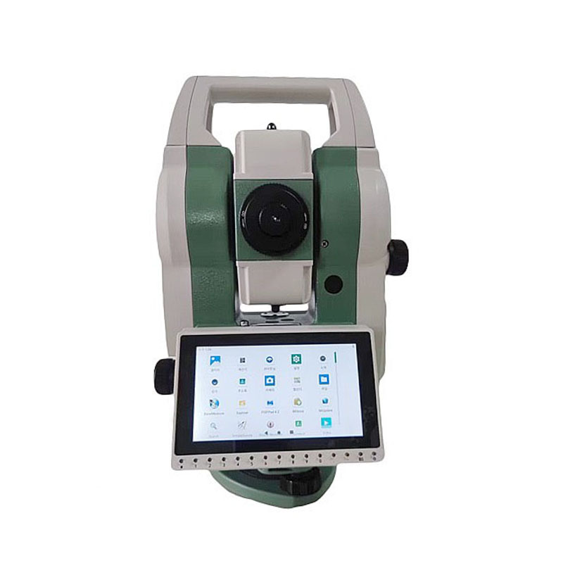
A total station integrates electronic theodolite, electronic distance measurement, and data processing capabilities into one compact unit. This integration allows operators to measure angles, distances, and elevations with remarkable precision, storing and processing data instantly. The versatility of total station technology means that a single instrument can handle multiple surveying tasks across diverse industries and project types, making it indispensable for modern professional practice.
Construction and Site Development Applications
Layout and Staking Operations
One of the primary applications of total station technology in construction involves precise site layout and staking. Before any structure is built, surveyors use a total station to establish exact reference points based on design specifications and boundary surveys. This process ensures that building footprints, foundations, and structural elements align perfectly with architectural plans. The total station's ability to calculate and mark multiple points rapidly makes large-scale layout operations significantly faster and more accurate than traditional methods.
The applications of total station technology extend to establishing grade stakes for utilities, roads, and drainage systems. Operators can configure the total station to display real-time elevation data, guiding construction crews to maintain precise slopes and vertical alignments. This capability reduces costly rework and ensures projects meet design specifications from the initial earthwork phase through completion. Many construction companies view total station technology as a critical investment because of its direct impact on schedule and quality control.
As-Built Documentation and Quality Control
Total station applications in construction quality assurance include comprehensive as-built surveying, which documents the actual completed structure and verifies that it matches design intent. After major construction phases, surveyors deploy a total station to capture precise measurements of structural elements, verifying alignment, elevation, and position within acceptable tolerances. This documentation protects both contractors and owners by creating an authoritative record of what was actually constructed.
The total station's rapid data collection capabilities make it economical to conduct quality inspections at multiple project stages. Surveyors can compare as-built measurements against design specifications in real time, identifying deviations early when corrections are less costly and disruptive. This proactive quality control application of total station technology helps prevent expensive change orders and scheduling delays.
Civil Engineering and Infrastructure Surveying
Alignment and Route Establishment
Civil engineers rely on total station technology for establishing and verifying the horizontal and vertical alignment of linear infrastructure projects such as highways, railways, utilities, and pipelines. The total station allows engineers to establish precise centerline locations and transition curves, which are critical for safe and efficient transportation networks. Applications of total station technology in route establishment include setting grades, establishing sight distance verification points, and documenting terrain along the proposed alignment.
When infrastructure projects traverse varied terrain or require complex geometric solutions, the total station becomes essential. Its ability to rapidly measure and calculate horizontal and vertical curves enables engineers to optimize designs before construction begins. This pre-construction analysis using total station technology reduces the likelihood of design conflicts and improves both safety and performance of the completed infrastructure.
Deformation Monitoring and Structural Health Assessment
Beyond initial surveying, important applications of total station technology include long-term deformation monitoring of bridges, dams, buildings, and other critical infrastructure. Surveyors establish permanent monitoring stations and reference marks, then conduct periodic measurements to detect any structural movement or settlement. If a total station reveals movement patterns that exceed acceptable thresholds, engineers can investigate and address potential issues before they become critical.
Deformation monitoring applications of total station technology are particularly valuable for structures in challenging environments or with known subsidence history. Repeated measurements over months or years reveal settlement patterns that inform maintenance decisions and structural repair planning. This preventive approach using total station technology extends infrastructure lifespan and enhances public safety by identifying problems early.
Surveying and Land Development Applications
Topographic and Boundary Surveying
Land surveyors employ total station technology for both topographic surveys and legal boundary documentation. When developing new properties or conducting engineering feasibility studies, surveyors use a total station to capture existing ground conditions, including terrain variation, vegetation, utilities, and natural features. The total station's integration of angle and distance measurement into a single workflow makes this comprehensive data collection efficient and cost-effective compared to traditional surveying methods.
For boundary surveying, the total station technology enables surveyors to re-establish historical property lines and verify easements with legal accuracy. The instrument's ability to store coordinates and calculate distances between any two points simplifies the documentation process required for deed preparation and title transfer. Professional surveyors value total station technology because it combines the precision necessary for legal documents with the efficiency needed for competitive pricing.
Site Analysis and Development Planning
Developers and planners use applications of total station technology to analyze potential development sites before major design or construction investments. A comprehensive topographic survey using total station equipment reveals slopes, drainage patterns, utilities, and constraints that affect development feasibility and design optimization. This early-stage analysis prevents costly design revisions and enables developers to identify the most marketable site configurations.
The total station's data collection capabilities also support environmental assessment and regulatory compliance documentation. Surveyors can measure and document wetland boundaries, stream channels, and other environmentally sensitive features with precision sufficient for permitting agencies. Applications of total station technology in environmental surveying help streamline the permitting process and demonstrate good stewardship to regulatory authorities.
FAQ
What industries rely most heavily on total station technology?
Construction, civil engineering, land surveying, and infrastructure development represent the industries with the heaviest reliance on total station applications. Construction contractors use total station equipment for site layout, quality control, and as-built documentation. Civil engineers depend on total station technology for alignment establishment, design verification, and deformation monitoring. Land surveyors employ total station instruments for boundary documentation, topographic mapping, and easement establishment. Government agencies managing transportation, water, and utility infrastructure also utilize total station technology extensively for project implementation and asset management.
How does total station technology improve project efficiency compared to older surveying methods?
Total station technology accelerates fieldwork by combining multiple measurements into a single setup, eliminating the need to reposition instruments repeatedly. Data collection using total station equipment is automated, reducing manual calculation and documentation requirements that consumed significant time with traditional surveying. Because total station instruments store and process data electronically, field crews can verify accuracy and completeness immediately, addressing issues before leaving the site. The integrated capabilities of total station technology mean fewer instruments to transport, calibrate, and manage, simplifying logistics and reducing crew fatigue.
Can total station technology adapt to different project types and scales?
Yes, total station applications span from small residential construction projects to large-scale infrastructure development with minimal configuration changes. Different total station models accommodate various accuracy requirements and measurement ranges, allowing professionals to select equipment matched to their typical project scope. Software supporting total station instruments enables customization for specific workflows, whether that means layout for concrete forming, utility coordination, or precise engineering alignment. This adaptability makes total station technology a practical investment for surveying firms, construction companies, and engineering consultants serving diverse markets.