
 EN
EN
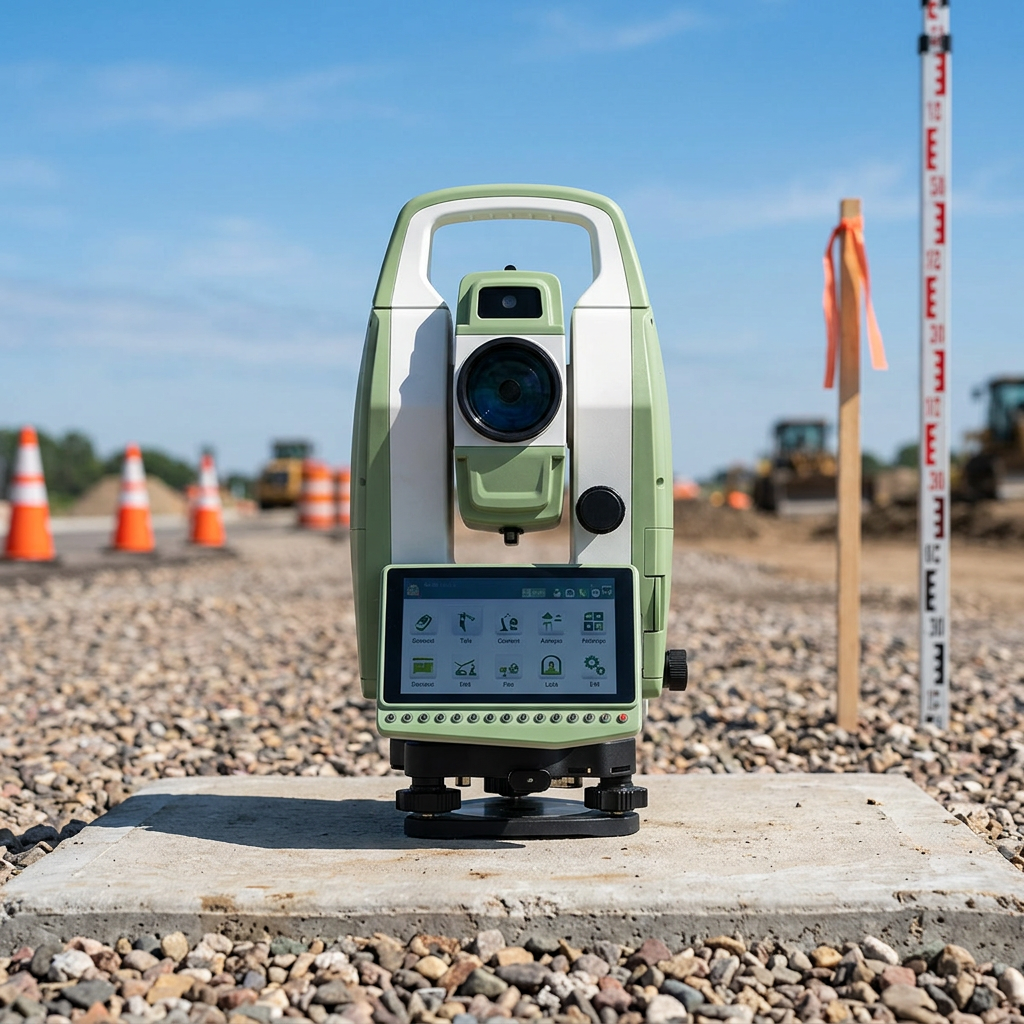
A GIS data collector has become an indispensable tool for professionals who need to capture accurate geospatial information in the field. Whether you are mapping infrastructure, managing natural resources, conducting environmental surveys, or performing land assessments, the precision and reliability of your field data directly impact project outcomes and decision-making. Unlike traditional methods that rely on manual notes and delayed processing, a modern GIS data collector enables real-time data capture with built-in positioning technology, ensuring that every measurement and observation meets accuracy standards before you leave the site.
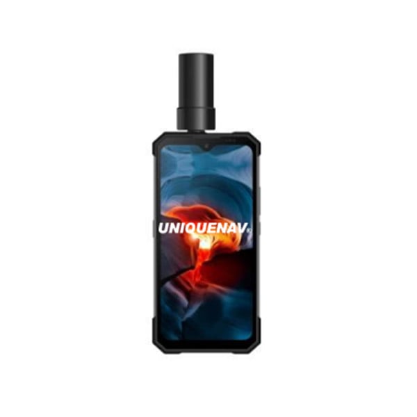
The improvement in field mapping accuracy through a GIS data collector stems from multiple interconnected factors: high-precision positioning systems, integrated data validation workflows, reduced transcription errors, and the ability to verify spatial relationships in real time. Organizations across surveying, utilities, agriculture, forestry, and urban planning sectors have adopted GIS data collector technology to eliminate guesswork, accelerate project timelines, and deliver datasets that meet regulatory and client specifications. Understanding how a GIS data collector enhances accuracy requires examining the core mechanisms that distinguish it from manual or legacy approaches.
How a GIS Data Collector Captures Position Data with Greater Precision
Real-Time Positioning and Centimeter-Level Accuracy
At the heart of a GIS data collector lies its positioning engine, which determines the horizontal and vertical accuracy of every captured point. A GIS data collector equipped with multi-constellation GNSS receivers (GPS, GLONASS, Galileo, BeiDou) and real-time kinematic (RTK) correction capability can achieve centimeter-level or even sub-centimeter positioning accuracy. This represents a dramatic improvement over standard GPS, which typically offers accuracy within five to ten meters. The GIS data collector continuously processes satellite signals and compares them against ground-based or network-based correction services, automatically refining position estimates as you work.
This level of precision means that when you use a GIS data collector at a utility right-of-way, building corner, or boundary marker, the captured coordinates reflect the actual location rather than an approximate zone. For large-scale projects, this translates to fewer misalignments, reduced rework, and datasets that integrate seamlessly with existing geospatial basemaps and property records. The GIS data collector also logs positional uncertainty estimates with each point, providing transparency about data quality and flagging instances where atmospheric conditions or signal blockage temporarily degraded accuracy.
Multi-Sensor Integration for Comprehensive Field Information
A GIS data collector is more than a positioning device; it integrates digital cameras, barometric altimeters, electronic compasses, and inertial measurement units into a unified platform. This multi-sensor approach allows surveyors and field technicians to capture imagery, validate orientation, measure relative elevation, and record observations without switching between separate instruments. When a GIS data collector combines an accurate photo with precisely geo-tagged coordinates and metadata, the resulting dataset becomes self-documenting and far easier to interpret during office-based analysis and report generation.
The integration of these sensors within a single GIS data collector also reduces synchronization errors that arise when using disconnected tools. Rather than manually linking a photo timestamp to a separately captured coordinate, the GIS data collector automatically associates all sensor inputs with the same point record, eliminating ambiguity and improving confidence in the final map products.
Data Validation and Quality Assurance During Field Work
On-Device Data Review and Immediate Correction
One of the most powerful accuracy-improvement mechanisms offered by a GIS data collector is the ability to validate data before leaving the survey area. Unlike traditional workflows where field crews collect data and quality review happens weeks later in the office, a GIS data collector allows you to inspect point locations, attribute values, and spatial relationships on site. If a captured point falls outside a project boundary, conflicts with existing infrastructure, or shows a coordinate value that seems inconsistent with nearby observations, the GIS data collector can flag this issue immediately.
This on-device validation capability built into a GIS data collector dramatically reduces downstream rework and cost. Corrections can be made while the survey team is still in the field and knows the context, rather than months later when the site revisit becomes expensive and logistically difficult. The GIS data collector also supports custom validation rules, such as ensuring that all captured points fall within a defined project area or that required attribute fields are completed before moving forward.
Automated Quality Control Rules and Consistency Checks
A modern GIS data collector can be configured with project-specific quality control rules that run automatically as data is captured. These rules might verify that newly captured features maintain minimum separation distances, that connectivity relationships between features are preserved, or that attribute values conform to predefined domains and formats. By embedding these checks into the GIS data collector rather than performing them manually afterward, accuracy is maintained continuously rather than intermittently checked.
These automated workflows within a GIS data collector also create an auditable record of data collection activities. Timestamps, operator IDs, hardware diagnostics, and validation results are logged alongside the captured features, providing full traceability. This documentation is essential for projects subject to regulatory oversight, client audits, or legal disputes where data integrity must be demonstrated.
Integration with Office Workflows and Seamless Data Transfer
Direct Data Synchronization and Format Compatibility
The accuracy advantage gained by using a GIS data collector extends beyond the field. Modern GIS data collector devices support direct synchronization with desktop GIS platforms, cloud repositories, and project databases. Rather than manually exporting data from the GIS data collector in a generic format and then manually importing it into your main GIS system, direct integration ensures that coordinate systems, attribute structures, and metadata are preserved without transcription or conversion errors. This seamless flow means that a point captured by the GIS data collector maintains its spatial reference and precision across the entire workflow.
By eliminating manual data transfer steps, a GIS data collector reduces human error and ensures that office analysts receive data in exactly the format and coordinate system they expect. This compatibility also accelerates project timelines, since teams no longer spend time troubleshooting format incompatibilities or redoing data entry.
Version Control and Collaborative Field Updates
A GIS data collector supporting cloud-based workflows enables multiple team members to access the same project basemap and contribute field observations simultaneously. If one technician discovers an error or identifies a newly visible feature, that information can be updated in the GIS data collector and immediately available to other field staff and office personnel. This collaborative model, supported by a modern GIS data collector, reduces duplication of effort and ensures that the most recent, accurate information is always in use.
Version control mechanisms embedded in the GIS data collector also track who captured each feature, when it was captured, and whether it has been subsequently modified. This audit trail is crucial for maintaining data confidence and supporting regulatory compliance in industries such as utilities, environmental management, and infrastructure planning.
FAQ
What positioning technology does a GIS data collector use to achieve centimeter accuracy?
A GIS data collector typically uses multi-constellation GNSS receivers combined with real-time kinematic (RTK) or post-processing kinematic (PPK) correction services. RTK-enabled GIS data collector devices receive correction signals from ground base stations or network services, enabling horizontal accuracy of 2–5 centimeters and vertical accuracy of 3–8 centimeters. This is far superior to standard GPS accuracy, which ranges from 5 to 10 meters. The GIS data collector continuously processes these corrections and automatically refines position estimates as you work in the field.
Can a GIS data collector be used in areas with poor satellite coverage?
A GIS data collector equipped with multi-constellation receivers and inertial measurement units can maintain positioning accuracy even in challenging environments. When satellite signals are blocked by dense vegetation, urban canyons, or structures, the GIS data collector can use inertial sensors to estimate position changes over short distances. Additionally, many modern GIS data collector devices support sky-search technology that quickly reacquires satellite signals when they become available. For prolonged poor coverage, the GIS data collector can record observations with reduced accuracy and flag them for manual review or reprocessing with improved signal conditions.
How does a GIS data collector reduce field data collection errors?
A GIS data collector reduces errors through several mechanisms: automated validation rules catch inconsistencies before leaving the site, on-device data review prevents transcription mistakes, multi-sensor integration eliminates the need to manually link separate instruments, and direct cloud synchronization removes file transfer errors. The GIS data collector also maintains detailed logs of all collection activities, enabling operators and supervisors to identify and address quality issues immediately rather than discovering them during office analysis. These combined features mean that a GIS data collector delivers more reliable datasets with fewer downstream corrections and rework cycles.