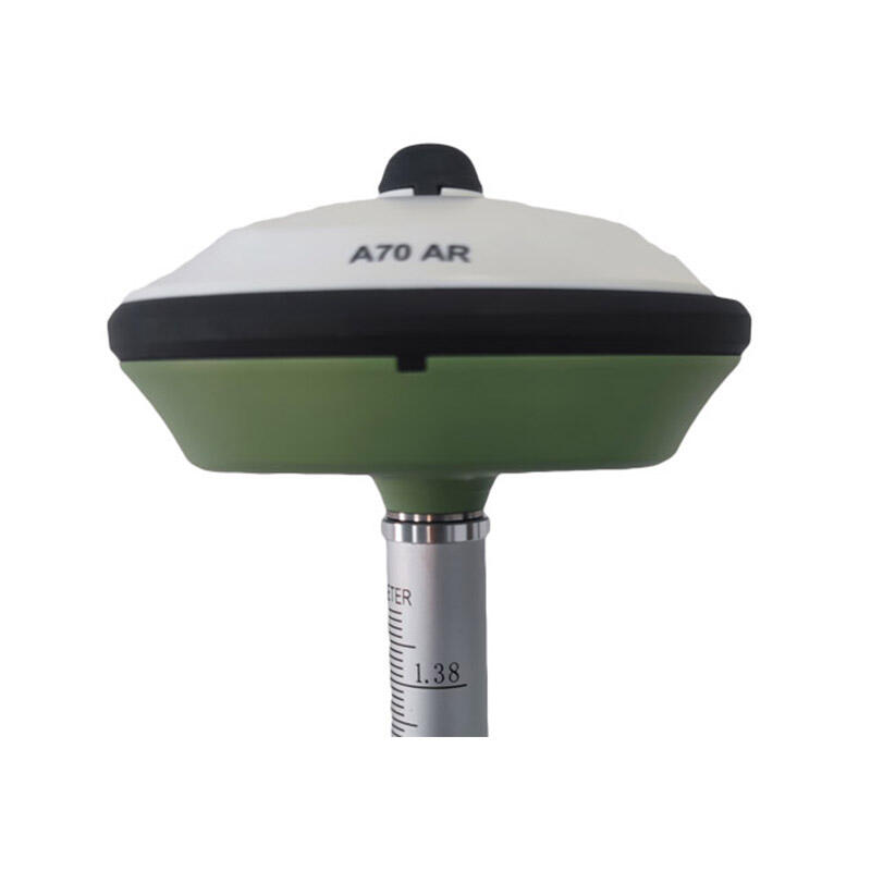
rtk gps gnss
RTK GPS GNSS (Real-Time Kinematic Global Positioning System and Global Navigation Satellite System) represents a significant advancement in precision positioning technology. This sophisticated system enhances standard GPS accuracy from meters to centimeters by utilizing carrier phase measurements and real-time corrections. The system consists of a base station at a known location and one or more rover receivers, working together to provide highly accurate positioning data. The base station transmits correction data to the rover receivers through radio or cellular connections, enabling real-time position corrections. RTK GPS GNSS technology processes both GPS and GNSS signals, incorporating data from multiple satellite constellations including GPS, GLONASS, Galileo, and BeiDou. This multi-constellation capability ensures robust performance and reliability even in challenging environments. The system operates by comparing the phase of the carrier signal from satellites at both the base and rover stations, calculating precise positions with accuracy levels of up to 1-2 centimeters horizontally and 3-5 centimeters vertically. This technology has revolutionized various industries, from precision agriculture and construction to surveying and mapping, offering unprecedented accuracy in real-time positioning applications.


