gnss gps rtk
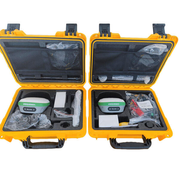
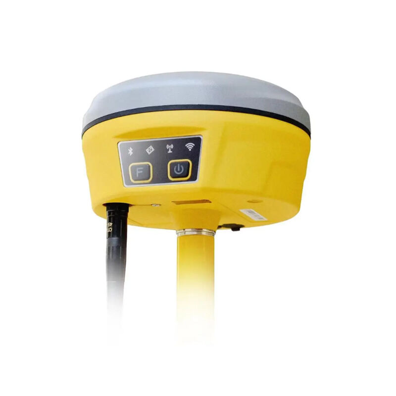
GNSS GPS RTK (Real-Time Kinematic) represents a significant advancement in precision positioning technology, combining Global Navigation Satellite System capabilities with real-time correction mechanisms. This sophisticated system utilizes both GPS signals and correction data from base stations to achieve centimeter-level accuracy in positioning. The technology works by processing carrier phase measurements from GNSS satellites while simultaneously receiving correction data from a nearby base station or network. These corrections are applied in real-time, enabling the system to eliminate common sources of GPS errors such as atmospheric delays, satellite orbit errors, and clock discrepancies. The RTK system consists of a base station at a known location and one or more rover receivers that can be mobile. The base station transmits correction data to the rovers through radio or cellular networks, allowing for precise positioning calculations. This technology has revolutionized numerous industries, from precision agriculture and construction to surveying and mapping. The system's ability to provide instantaneous, highly accurate positioning makes it invaluable for applications requiring precise measurements and navigation. Modern GNSS GPS RTK systems often integrate multiple satellite constellations, including GPS, GLONASS, Galileo, and BeiDou, enhancing reliability and accuracy across various operating conditions.