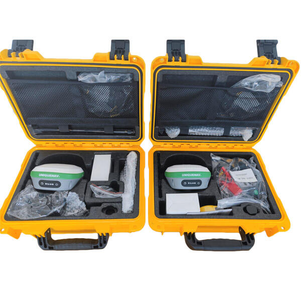
rtk gnss gps
RTK GNSS GPS represents a significant advancement in positioning technology, combining Real-Time Kinematic (RTK) positioning with Global Navigation Satellite Systems (GNSS) and GPS capabilities. This sophisticated system delivers centimeter-level accuracy in real-time positioning, making it invaluable for various professional applications. The system works by utilizing both the carrier phase and code measurements from satellite signals, while also incorporating correctional data from a base station. This base station, positioned at a known location, transmits correction signals to the rover receiver, enabling precise positioning calculations. The technology processes multiple satellite constellations, including GPS, GLONASS, Galileo, and BeiDou, enhancing reliability and accuracy across different environments. Modern RTK GNSS GPS systems typically feature advanced interference rejection, multi-frequency support, and rapid initialization capabilities. These systems can achieve accuracy levels of 1-2 centimeters horizontally and 2-3 centimeters vertically under optimal conditions. The technology finds extensive application in surveying, precision agriculture, construction, mining, and various other industries where precise positioning is crucial. The integration of wireless communication protocols allows for seamless data transmission between base and rover units, while sophisticated algorithms ensure reliable performance even in challenging environments.


