gps rtk gnss
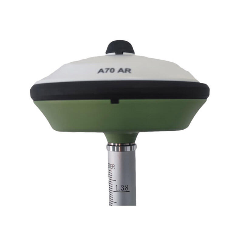
GPS RTK GNSS (Global Positioning System Real-Time Kinematic Global Navigation Satellite System) represents a significant advancement in precision positioning technology. This sophisticated system combines standard GPS technology with real-time correction data to achieve centimeter-level accuracy in positioning and navigation. The system works by utilizing two GNSS receivers, one stationary base station at a known location and a mobile rover unit. The base station transmits correction data to the rover in real-time, allowing for precise position determination by comparing the phase of the carrier waves of the GPS signals. This technology dramatically improves upon traditional GPS accuracy, which typically offers accuracy within several meters. The RTK system processes both the GPS L1 and L2 frequencies, along with signals from other satellite constellations including GLONASS, Galileo, and BeiDou, ensuring robust performance and reliability. Modern GPS RTK GNSS systems often incorporate advanced features such as bluetooth connectivity, long-range radio capabilities, and cloud-based correction services, making them increasingly versatile and user-friendly. These systems find extensive applications in surveying, precision agriculture, construction, mapping, and various other industries where precise positioning is crucial.