best gis data collector
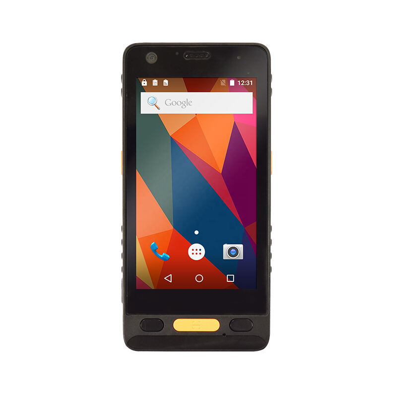
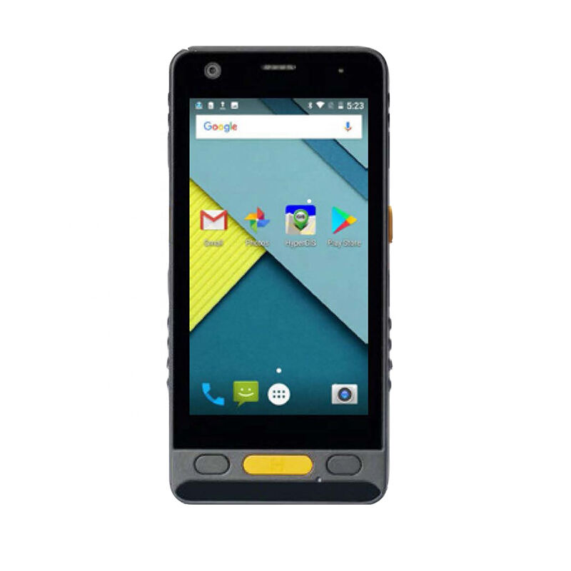
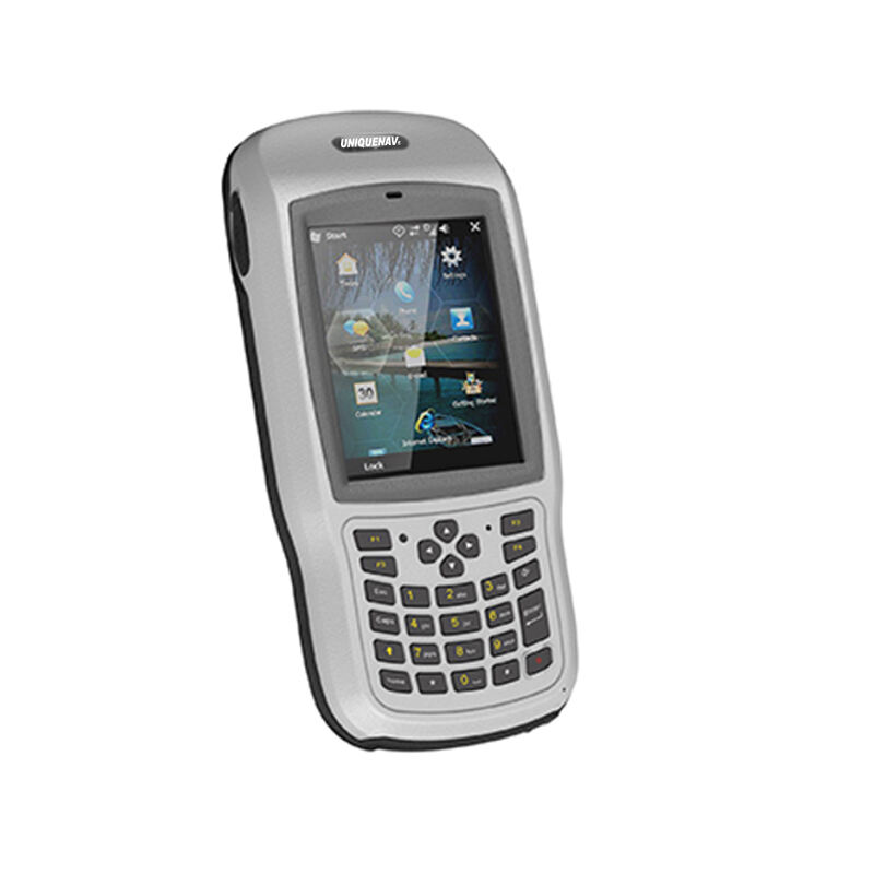
The best GIS data collector combines advanced technology with user-friendly functionality to revolutionize geographical data collection and management. This cutting-edge device features high-precision GNSS positioning capabilities, offering sub-meter accuracy and reliable performance in challenging environments. It integrates seamlessly with various mapping software platforms and supports multiple data formats, making it an invaluable tool for field operations. The device comes equipped with a rugged design that meets IP67 standards for water and dust resistance, ensuring durability in diverse field conditions. Its long-lasting battery life supports extended field operations, while the bright, sunlight-readable display enables clear visibility in outdoor settings. The collector features both Wi-Fi and Bluetooth connectivity, allowing real-time data synchronization and seamless integration with other devices. Built-in quality control measures help maintain data accuracy, while the intuitive interface reduces training time and improves productivity. The device supports various data collection methods, including point, line, and polygon features, and can handle both spatial and attribute data efficiently. Advanced post-processing capabilities ensure data accuracy and reliability, making it ideal for professional surveying, environmental monitoring, and infrastructure management applications.