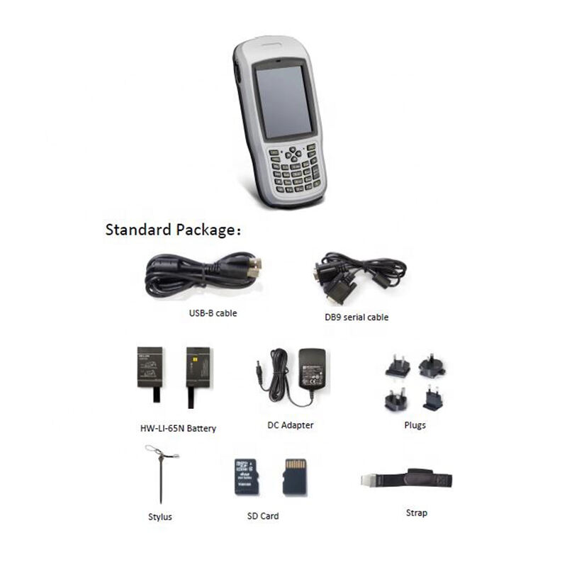
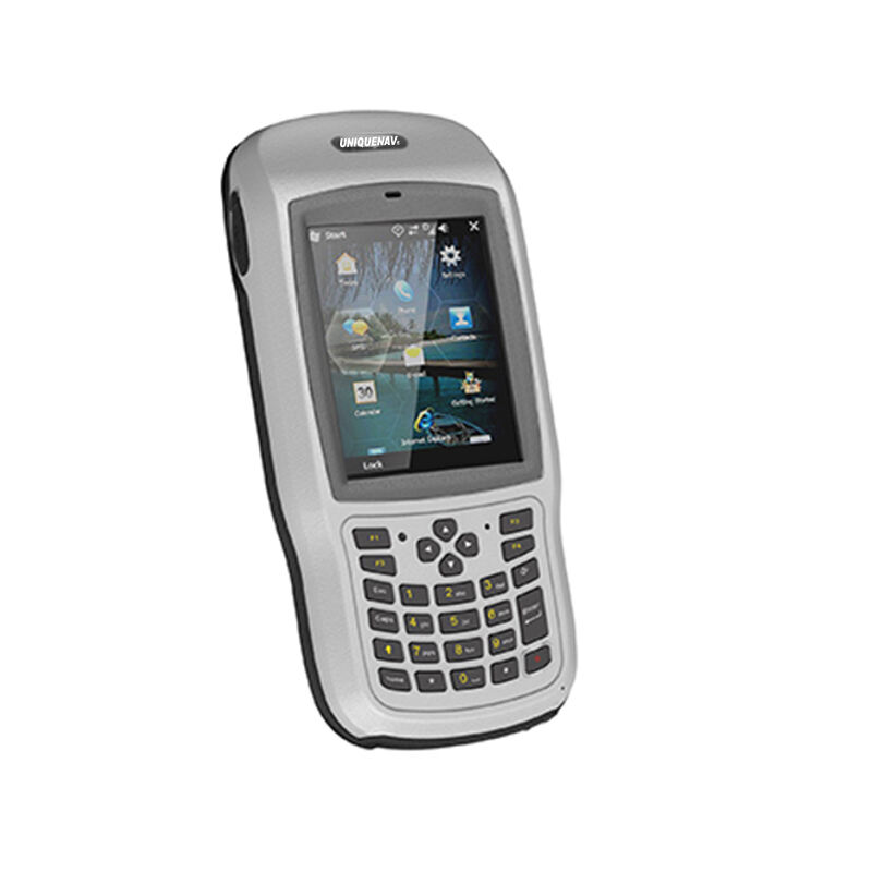
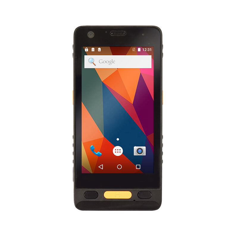
handheld gis data collector
A handheld GIS data collector is a sophisticated mobile device designed for gathering, storing, and processing geographic information system data in the field. This versatile tool combines GPS technology with powerful data collection capabilities, enabling users to capture accurate spatial information and associated attributes in real-time. Modern handheld GIS data collectors feature high-sensitivity GNSS receivers, offering sub-meter to centimeter-level accuracy depending on the model and configuration. They typically come equipped with ruggedized construction to withstand harsh environmental conditions, making them ideal for outdoor fieldwork. These devices integrate seamlessly with various GIS software platforms and support multiple data formats, allowing for efficient data transfer and analysis. The built-in cameras and barcode scanners enhance data collection capabilities, while large, sunlight-readable displays ensure optimal visibility in outdoor conditions. Advanced models often include features such as real-time kinematic (RTK) positioning, wireless connectivity options, and extended battery life for full-day operation. These devices serve diverse applications across industries, including environmental monitoring, utility mapping, agriculture, forestry management, and urban planning, making them essential tools for professionals who require accurate geographic data collection in the field.