rtk gps rover
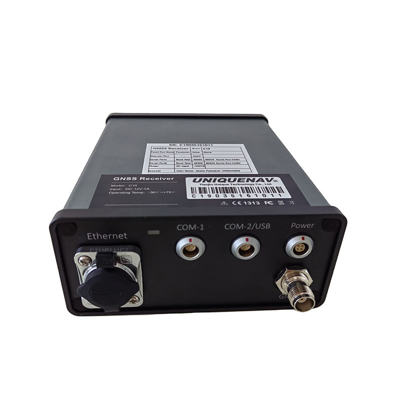
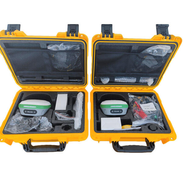
An RTK GPS rover is a sophisticated positioning system that combines Real-Time Kinematic technology with GPS capabilities to deliver centimeter-level accuracy in surveying and mapping applications. This advanced equipment consists of a mobile GNSS receiver that works in conjunction with a base station or network to provide precise positioning data in real-time. The system processes carrier phase measurements from satellites while receiving correction data from reference stations, enabling it to achieve positioning accuracy within 1-2 centimeters horizontally and 2-3 centimeters vertically. Modern RTK GPS rovers feature integrated communications modules, supporting various data transmission protocols including cellular, radio, and internet-based corrections. They typically include onboard storage for data logging, intuitive user interfaces, and robust construction for field operations. These devices support multiple satellite constellations including GPS, GLONASS, Galileo, and BeiDou, maximizing satellite visibility and improving accuracy in challenging environments. The technology incorporates advanced error mitigation techniques to handle multipath signals and atmospheric disturbances, ensuring reliable performance across diverse operating conditions.