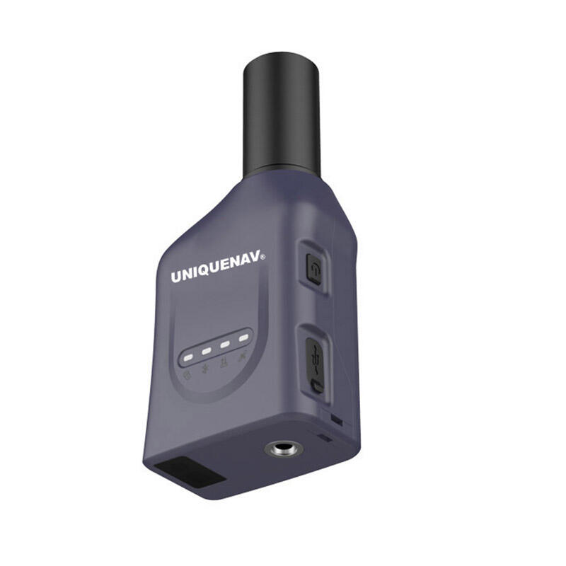
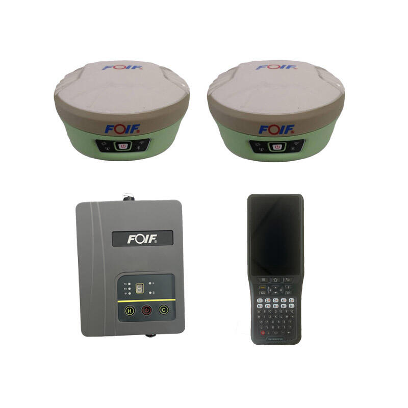
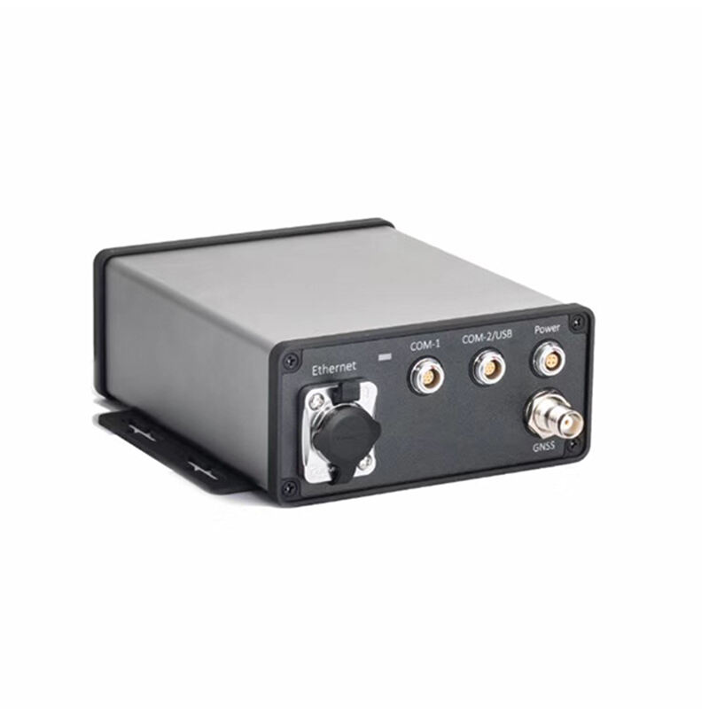
High-Precision RTK GPS Devices: Professional-Grade Positioning Solutions with Centimeter-Level Accuracy

All Categories

rtk gps device

RTK GPS devices represent a significant advancement in precision positioning technology, offering centimeter-level accuracy for various applications. These sophisticated devices utilize Real-Time Kinematic positioning, a satellite navigation technique that enhances standard GPS measurements through real-time corrections. The system consists of a base station at a known location and one or more mobile receivers, working together to eliminate common GPS errors. The base station transmits correction data to the mobile receivers, allowing them to achieve remarkable accuracy in real-time positioning. RTK GPS devices typically include advanced multi-constellation GNSS receivers, capable of tracking signals from GPS, GLONASS, Galileo, and BeiDou systems simultaneously. They feature robust communication modules for receiving correction data, sophisticated processing algorithms, and user-friendly interfaces. These devices often come equipped with various connectivity options, including Bluetooth, Wi-Fi, and cellular capabilities, enabling seamless integration with other devices and systems. The technology incorporates advanced error-correction mechanisms, atmospheric modeling, and phase measurement techniques to ensure reliable and precise positioning even in challenging environments. Modern RTK GPS devices are designed with durability in mind, featuring weather-resistant construction and long-battery life to support extended field operations.

New Product Recommendations

RTK GPS devices offer numerous compelling advantages that make them invaluable tools across various industries and applications. The primary benefit is their exceptional accuracy, consistently achieving centimeter-level precision in real-time, which far surpasses traditional GPS systems. This high accuracy enables precise measurements and positioning essential for surveying, construction, and precision agriculture. Users benefit from rapid initialization times, typically achieving fixed solutions within seconds, which significantly improves work efficiency and productivity. The technology's ability to maintain accuracy in dynamic conditions makes it ideal for machine guidance and autonomous navigation systems. Cost-effectiveness is another significant advantage, as RTK systems eliminate the need for multiple conventional surveying instruments and reduce the time required for measurement tasks. The devices' user-friendly interfaces and automated operations minimize the learning curve and training requirements, making them accessible to users with varying levels of technical expertise. Modern RTK GPS devices offer excellent reliability and consistency, maintaining accuracy even in challenging environments such as urban canyons or areas with partial sky visibility. The integration capabilities with various software platforms and mobile devices enhance workflow efficiency and data management. Additionally, these devices support real-time data sharing and cloud connectivity, enabling seamless collaboration among team members and immediate access to positioning information. The robust construction and weather resistance ensure reliable operation in diverse environmental conditions, while long battery life supports extended field operations without interruption.

Latest News

What are the common error sources in GNSS RTK positioning and how to mitigate them?

21

Mar

What are the common error sources in GNSS RTK positioning and how to mitigate them?

View More
What are the common error sources and solutions when using RTK GNSS?

22

Apr

What are the common error sources and solutions when using RTK GNSS?

View More
Applicable Scenarios and Selection Tips for Different Types of Total Stations

22

Apr

Applicable Scenarios and Selection Tips for Different Types of Total Stations

View More
Laser RTK vs GNSS: Which One Is Better?

22

Apr

Laser RTK vs GNSS: Which One Is Better?

View More

Get a Free Quote

Our representative will contact you soon.
Email
Name
Company Name
Message
0/1000

rtk gps device

Advanced Multi-Constellation Support

Advanced Multi-Constellation Support

Modern RTK GPS devices excel in their ability to simultaneously track and process signals from multiple satellite constellations, including GPS, GLONASS, Galileo, and BeiDou. This multi-constellation support significantly enhances positioning reliability and accuracy by increasing the number of available satellites for positioning calculations. The system automatically selects the best combination of satellites to optimize performance, ensuring consistent accuracy even in challenging environments with limited sky visibility. This feature particularly benefits users working in urban areas or under partial tree cover, where traditional single-constellation systems might struggle. The advanced satellite tracking capabilities also improve the time to first fix (TTFF) and reduce initialization times, allowing users to begin work more quickly and maintain productivity throughout the day. The sophisticated algorithms employed in processing multi-constellation data provide robust protection against signal interference and multipath effects, ensuring reliable positioning solutions in various operating conditions.
Real-Time Error Correction Technology

Real-Time Error Correction Technology

The heart of RTK GPS technology lies in its sophisticated real-time error correction capabilities. This system continuously processes and analyzes satellite signals, comparing data between the base station and rover units to eliminate common sources of GPS errors. The technology accounts for atmospheric delays, satellite orbit errors, and clock biases, providing instantaneous corrections that enable centimeter-level accuracy. The error correction process operates seamlessly in the background, requiring no user intervention while maintaining consistent accuracy levels. Advanced filtering algorithms help identify and eliminate multipath signals and other potential sources of error, ensuring reliable positioning even in challenging environments. The system's ability to maintain accuracy during movement makes it particularly valuable for machine guidance and dynamic applications. The real-time nature of these corrections enables immediate response to changing conditions, ensuring continuous high-precision positioning without post-processing requirements.
Seamless Integration and Connectivity

Seamless Integration and Connectivity

Modern RTK GPS devices are designed with comprehensive integration capabilities, featuring multiple communication protocols and interfaces that enable seamless connection with various external devices and systems. Built-in Bluetooth, Wi-Fi, and cellular connectivity options provide flexibility in data transmission and remote access capabilities. The devices support standard industry protocols for easy integration with existing survey and GIS software platforms, allowing users to maintain their preferred workflows while benefiting from enhanced positioning accuracy. Cloud connectivity enables real-time data sharing and backup, ensuring that positioning information is immediately available to all team members and safely stored for future reference. The ability to receive RTK corrections through multiple channels, including internet-based correction services and local base stations, provides redundancy and ensures continuous operation. These integration capabilities significantly enhance productivity by streamlining data collection, processing, and sharing workflows.