مصنع جهاز جمع بيانات الجي إس
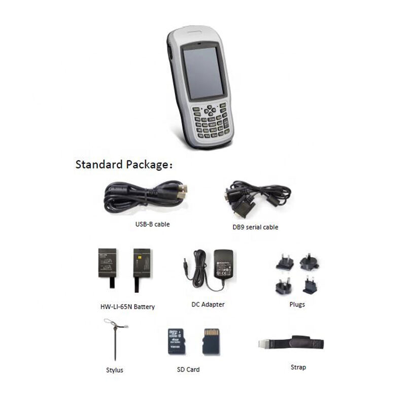
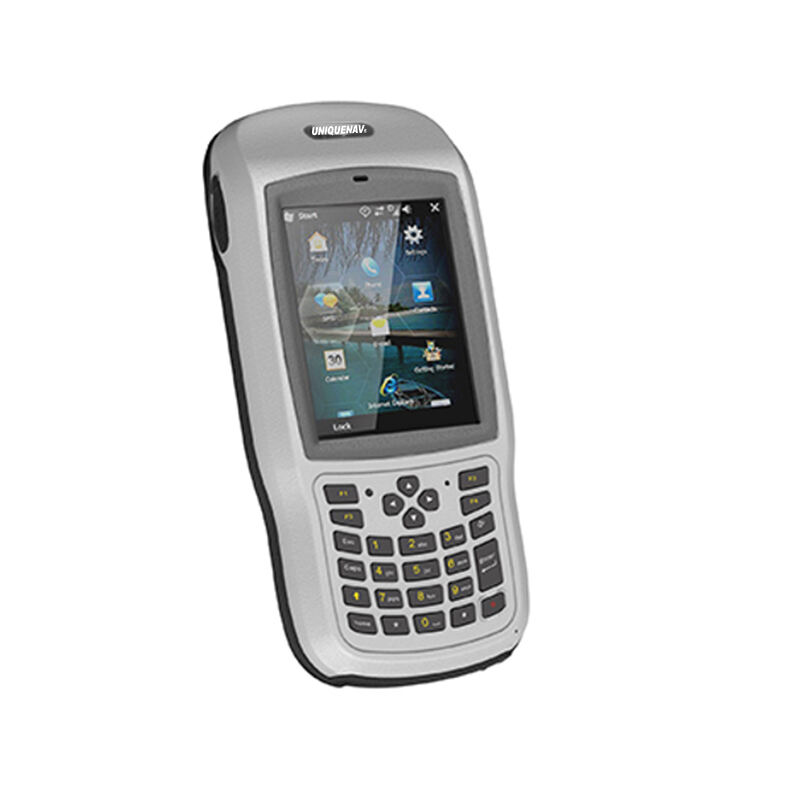
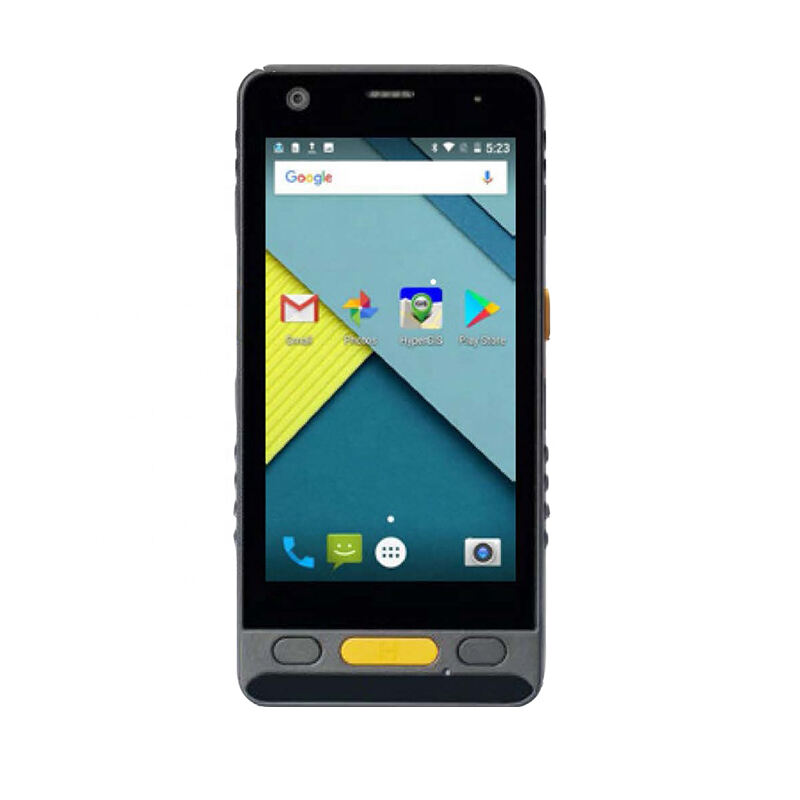
يختص صانع جهاز جمع بيانات النظم الجغرافية بمجال تطوير وإنتاج أجهزة أنظمة معلومات جغرافية ذات دقة عالية، مما يمكّن من جمع البيانات الميدانية والخرائط بكفاءة. تقوم هذه الشركات بصنع أجهزة محمولة قوية مجهزة بتقنيات متقدمة لتحديد المواقع GPS/GNSS، مما يسمح بدقة على مستوى السنتيمتر في جمع البيانات المكانية. عادةً ما تحتوي هذه الأجهزة على تصميم مقاوم للاستخدام الخارجي، وعمر بطارية طويل، وواجهات سهلة الاستخدام لتيسير التشغيل. تدمج أجهزة جمع البيانات الحديثة تقنيات متعددة، بما في ذلك كاميرات بدقة عالية، وماسحات شفرات الباركود، وأجهزة استشعار مختلفة، مما يتيح قدرات شاملة لجمع البيانات. تدعم هذه الأجهزة أنظمة تحديد المواقع الفضائية المتعددة، بما في ذلك GPS وGLONASS وGalileo وBeiDou، مما يضمن تحديد موقع موثوق في مواقع عالمية مختلفة. كما تطور الشركات البرمجيات المرافقة التي تسهّل نقل البيانات ومعالجتها في الوقت الحقيقي وتكاملها مع المنصات الحالية لأنظمة المعلومات الجغرافية. تخدم منتجاتهم مجموعة متنوعة من الصناعات، بما في ذلك المساحة، والبناء، والمرافق، ومراقبة البيئة، والتخطيط الحضري. تدعم هذه الأجهزة تنسيقات بروتوكولات بيانات متعددة، مما يضمن التوافق مع مختلف برامج وأنظمة النظم الجغرافية. غالباً ما تقدم هذه الشركات خيارات تعديل لتلبية متطلبات الصناعة المحددة وتوفير خدمات الدعم الفني والتدريب الشاملة لضمان استخدام الجهاز الأمثل.