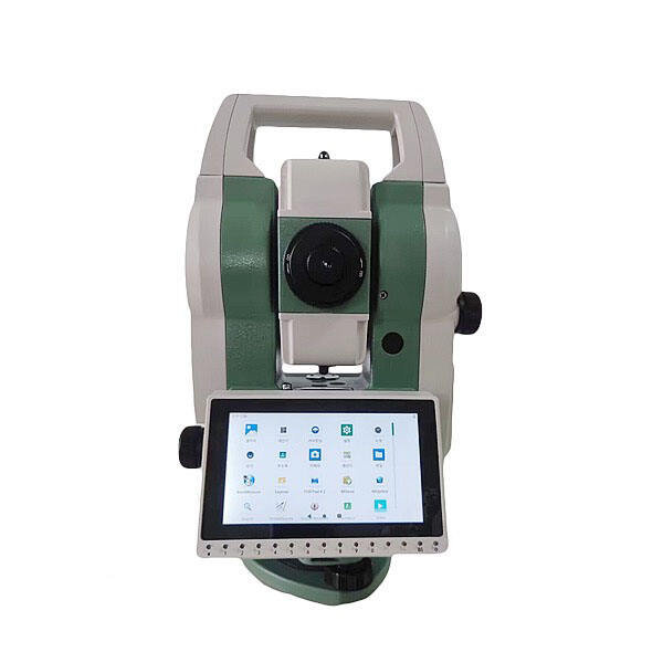
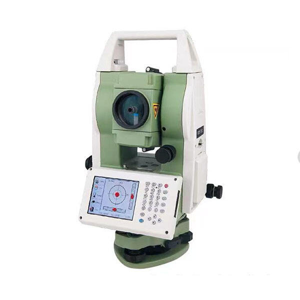
reflectorless total station
A reflectorless total station represents a significant advancement in surveying technology, combining precision measurement capabilities with modern electronic innovations. This sophisticated instrument enables surveyors to measure distances and angles without requiring a reflective prism at the target point, making it particularly valuable for hard-to-reach or hazardous locations. The device employs advanced laser technology to measure distances up to several hundred meters with millimeter-level accuracy, while simultaneously calculating horizontal and vertical angles. Its integrated electronic data collection system stores measurements automatically, eliminating manual recording errors. The reflectorless technology works by emitting a laser beam that bounces off the target surface and returns to the instrument, with built-in software calculating the distance based on the time of flight. Modern reflectorless total stations also feature digital imaging capabilities, allowing users to document site conditions and overlay measurements on photographs. The instrument's onboard computer can perform complex calculations in real-time, including coordinate geometry, stake-out functions, and area calculations. This versatility makes it an essential tool for applications ranging from construction layout and building facades to mining operations and archaeological surveys.