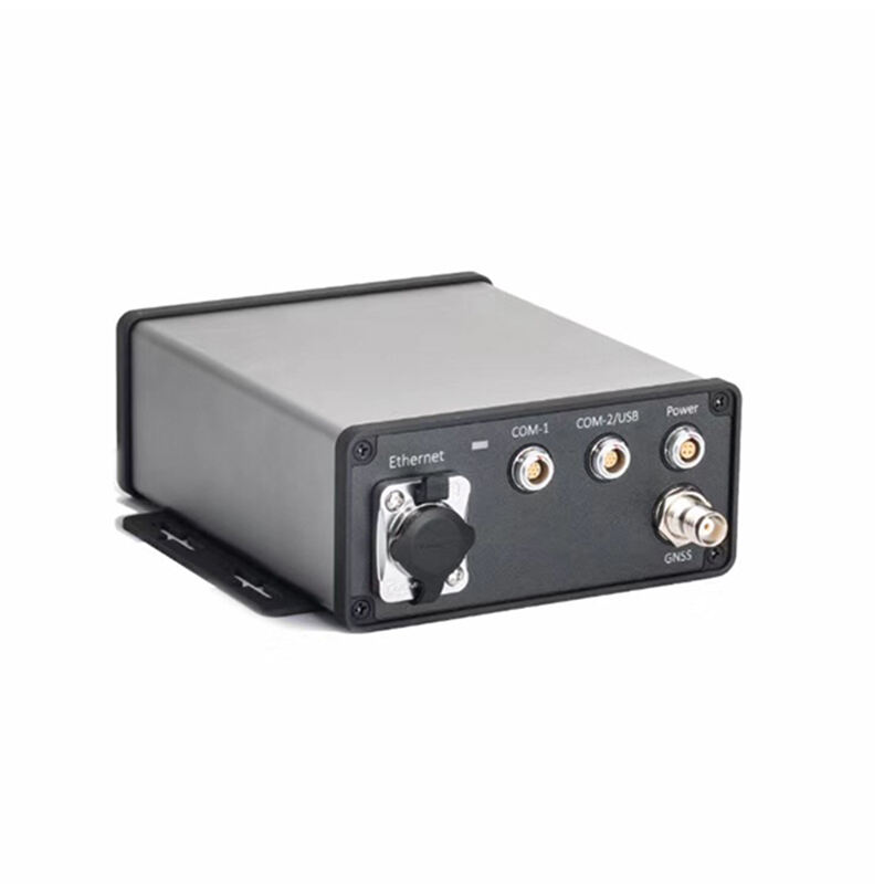
Professional Handheld GNSS Devices: Advanced Navigation Solutions for Precision Positioning

All Categories

handheld gnss

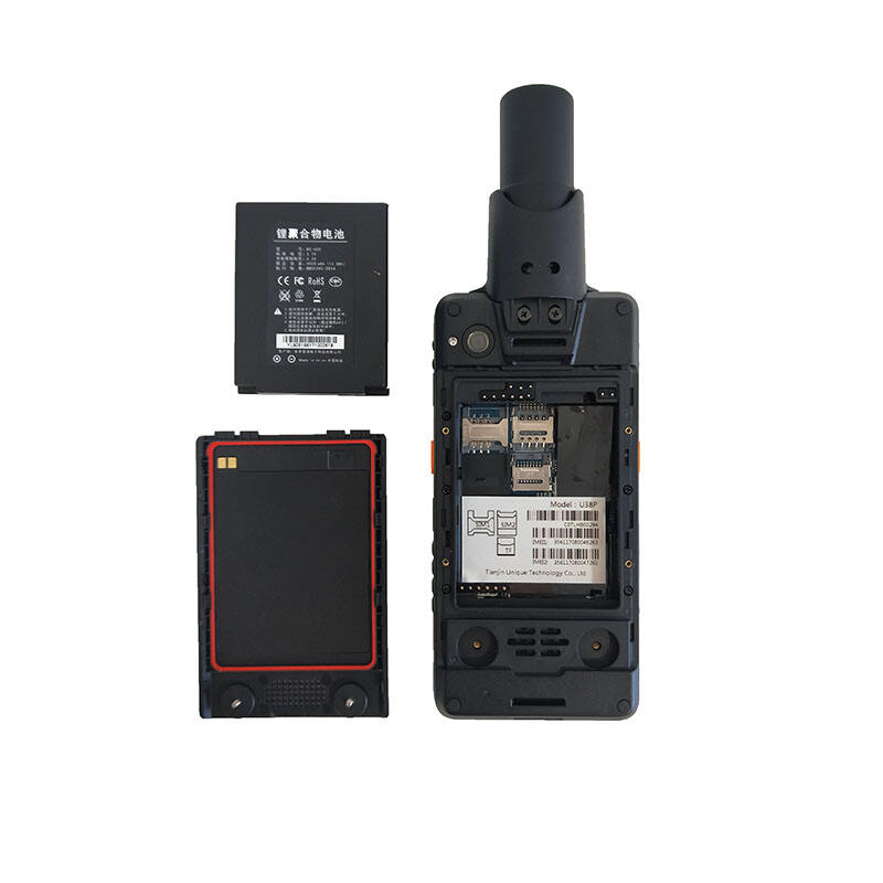
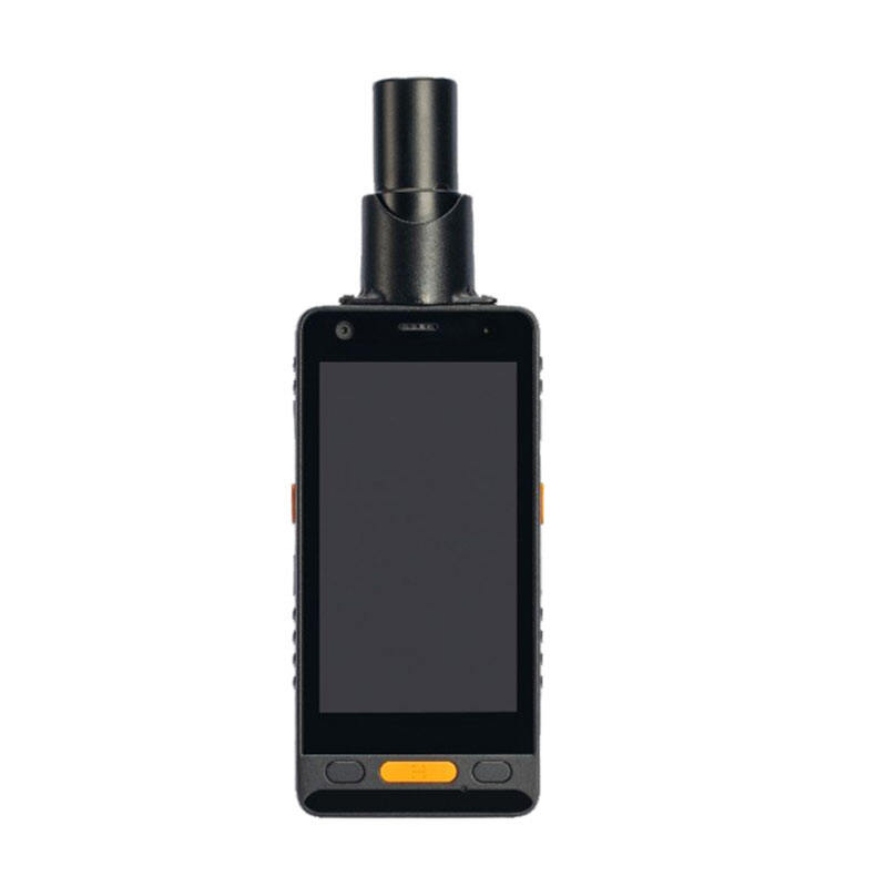
A handheld GNSS (Global Navigation Satellite System) device represents cutting-edge navigation technology in a compact, portable format. These sophisticated devices utilize multiple satellite constellations, including GPS, GLONASS, Galileo, and BeiDou, to provide precise positioning and navigation capabilities. Modern handheld GNSS units typically feature high-sensitivity receivers capable of maintaining satellite signals even in challenging environments such as urban canyons or dense forest canopies. They come equipped with full-color displays, intuitive user interfaces, and extensive mapping capabilities that support both pre-loaded and custom maps. Most models offer advanced tracking features, waypoint management, route planning, and real-time navigation assistance. The devices incorporate various sensors, including altimeters, electronic compasses, and accelerometers, enhancing their positioning accuracy and functionality. They often feature robust construction with water-resistant or waterproof housings, making them suitable for outdoor activities in various weather conditions. These units typically offer multiple connectivity options, including Bluetooth and Wi-Fi, enabling seamless data transfer and real-time updates. With storage capacities ranging from several gigabytes to expandable options via SD cards, they can store extensive mapping data and record detailed track logs for future reference.
New Products

Handheld GNSS devices offer numerous practical benefits that make them indispensable tools for both professional and recreational users. Their primary advantage lies in their exceptional positioning accuracy, typically achieving accuracy within 3-5 meters under optimal conditions, with some professional models capable of sub-meter precision. The multi-constellation satellite reception ensures reliable positioning even when some satellites are obscured, significantly improving performance in challenging environments. These devices excel in battery efficiency, often providing 16-24 hours of continuous operation on a single charge, with some models supporting replaceable batteries for extended use. The rugged construction ensures reliability in harsh conditions, while their compact size makes them easily portable in any situation. Users benefit from comprehensive navigation features, including turn-by-turn directions, off-track alerts, and automatic route recalculation. The ability to create and manage custom waypoints and routes enables efficient trip planning and execution. Modern units often include wireless connectivity for real-time weather updates, geocaching data, and social sharing capabilities. The devices feature intuitive interfaces that make complex navigation tasks accessible to users of all experience levels. Their mapping capabilities support multiple map formats and allow for easy updates and customization. Many models include additional tools such as area calculation, sun and moon information, and hunting/fishing calendars, making them versatile tools for outdoor activities. The ability to record and analyze trip data provides valuable insights for both recreational and professional applications.

Practical Tips

How to Set Up and Calibrate an Android Total Station?

21

Mar

How to Set Up and Calibrate an Android Total Station?

View More
What are the common error sources in GNSS RTK positioning and how to mitigate them?

21

Mar

What are the common error sources in GNSS RTK positioning and how to mitigate them?

View More
How to choose the right RTK GNSS equipment?

22

Apr

How to choose the right RTK GNSS equipment?

View More
How to Choose a Total Station Suitable for Engineering Needs?

22

Apr

How to Choose a Total Station Suitable for Engineering Needs?

View More

Get a Free Quote

Our representative will contact you soon.
Email
Name
Company Name
Message
0/1000

handheld gnss

Advanced Satellite Reception Technology

Advanced Satellite Reception Technology

The cornerstone of modern handheld GNSS devices lies in their sophisticated satellite reception technology. These devices incorporate multi-constellation compatibility, simultaneously tracking signals from GPS, GLONASS, Galileo, and BeiDou systems. This comprehensive satellite coverage ensures optimal positioning accuracy even in challenging environments where traditional GPS-only devices might struggle. The advanced receiver technology employs sophisticated algorithms for satellite signal processing, enabling faster position acquisition and maintaining accuracy even under tree canopy or in urban environments. High-sensitivity receivers can track extremely weak satellite signals, while multi-path rejection technology minimizes positioning errors caused by signal reflections. The implementation of dual-frequency reception in premium models further enhances accuracy by compensating for atmospheric interference.
Robust Environmental Durability

Robust Environmental Durability

Handheld GNSS devices are engineered to withstand extreme environmental conditions while maintaining reliable performance. These units typically feature military-grade construction standards, including impact-resistant casings that protect against drops and shock. The devices are designed with IPX7 or higher water resistance ratings, ensuring protection against rain, snow, and temporary immersion. High-quality sealed housings prevent dust and debris infiltration, while specialized screen technology ensures visibility in bright sunlight and various weather conditions. Temperature compensation systems enable accurate operation across wide temperature ranges, from sub-zero environments to hot desert conditions. The buttons and interfaces are designed for reliable operation even when wearing gloves, making them practical for all-weather use.
Comprehensive Navigation Features

Comprehensive Navigation Features

Modern handheld GNSS devices offer an extensive suite of navigation features that cater to diverse user needs. The advanced routing capabilities include automatic route generation with multiple routing options based on user preferences and terrain conditions. These devices excel in track management, allowing users to record, store, and analyze detailed journey information including elevation profiles, speed, and distance data. The waypoint management system enables users to mark and navigate to multiple locations with customizable icons and descriptions. Built-in mapping features support various map formats and allow for seamless switching between different map views, including topographic, satellite, and custom maps. The integration of additional sensors provides enhanced navigation capabilities, including electronic compass functionality that works even when stationary and barometric altimeter for accurate elevation tracking.