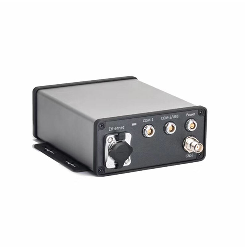
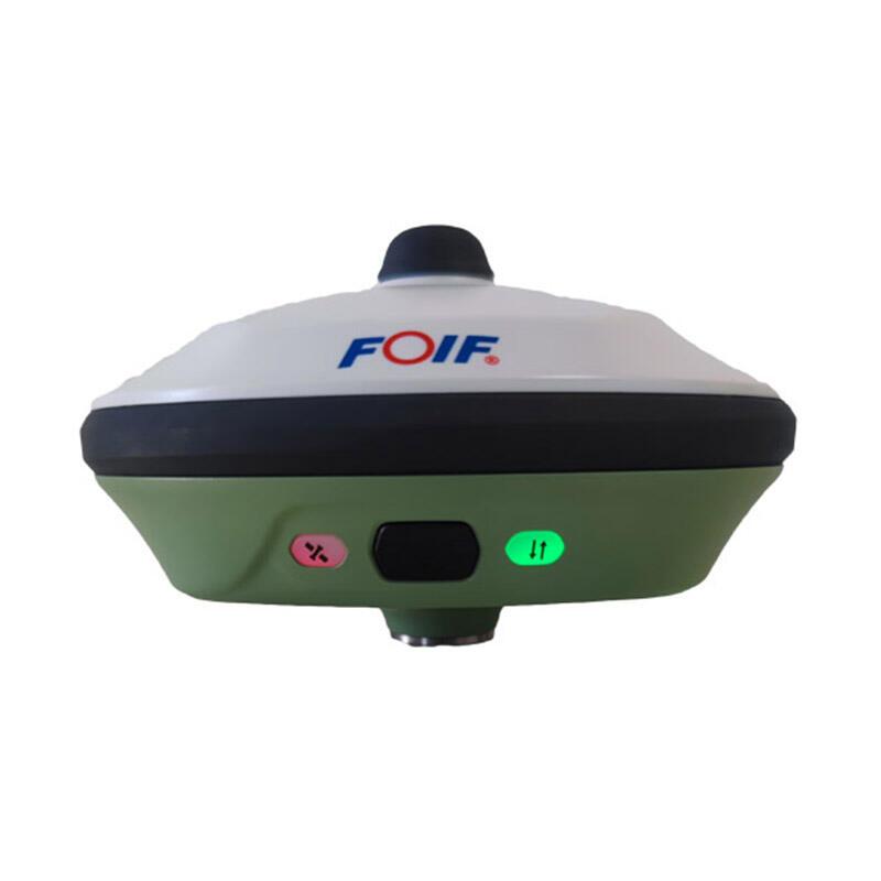
gnss receiver survey
A GNSS receiver survey represents a cutting-edge approach to precise positioning and mapping technology, utilizing signals from multiple satellite navigation systems. This sophisticated equipment captures and processes signals from various satellite constellations, including GPS, GLONASS, Galileo, and BeiDou, to determine exact locations with millimeter-level accuracy. The system operates by simultaneously tracking multiple satellite signals, applying advanced algorithms to eliminate errors, and providing real-time positioning solutions. Modern GNSS receivers incorporate features such as multipath mitigation technology, interference rejection capabilities, and advanced signal processing techniques to ensure reliable performance even in challenging environments. These receivers are equipped with high-sensitivity antennas and powerful processors that enable rapid initialization and maintain consistent accuracy throughout survey operations. The technology finds extensive application in various fields, including land surveying, construction, agriculture, and scientific research. Professional surveyors rely on GNSS receivers for tasks ranging from boundary determination to topographic mapping, while construction projects utilize them for precise machine control and site layout. In agriculture, these systems enable precision farming practices, and in scientific applications, they support detailed environmental monitoring and research activities.