GPS GNSS RTK Technology: High-Precision Positioning Solutions for Professional Applications

All Categories

gps gnss rtk

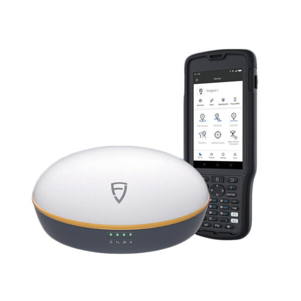
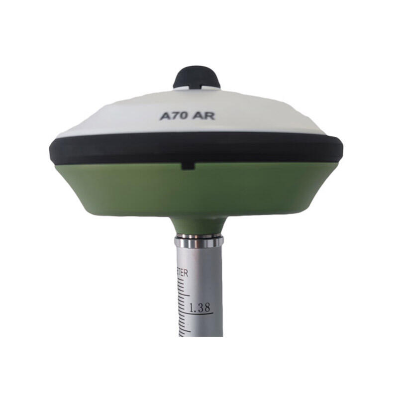
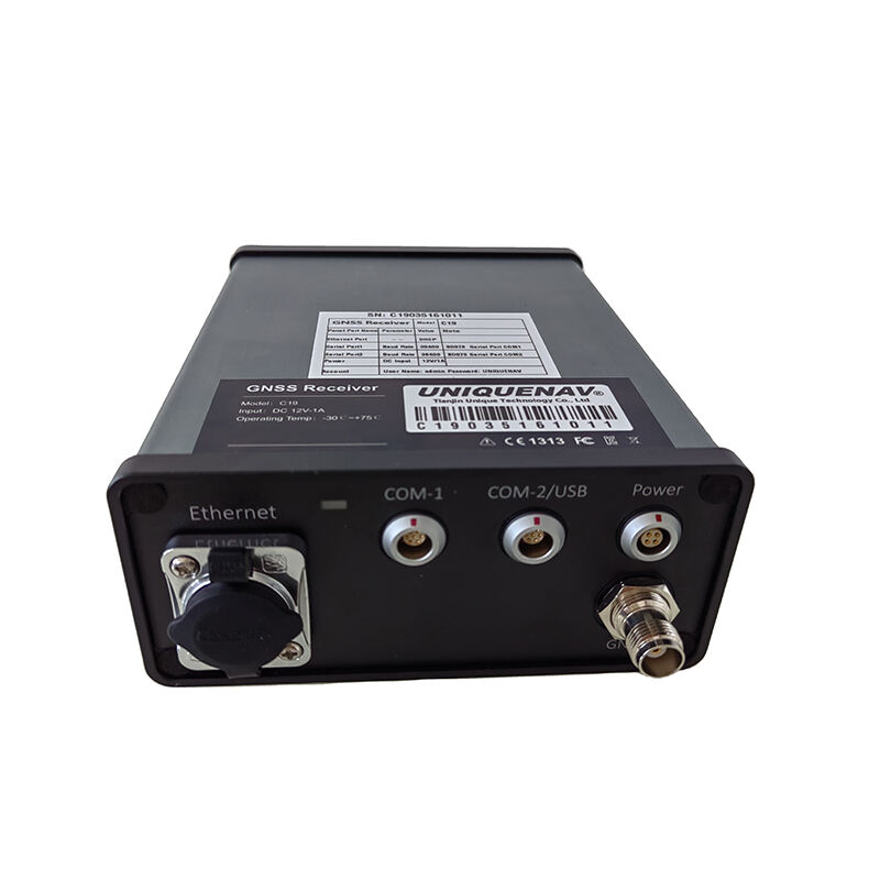
GPS GNSS RTK (Real-Time Kinematic) technology represents a significant advancement in precision positioning systems, combining Global Positioning System (GPS) and Global Navigation Satellite System (GNSS) capabilities with real-time corrections. This sophisticated system utilizes carrier phase measurements from satellite signals to achieve centimeter-level accuracy in positioning applications. The technology works by employing two receivers: a base station at a known location and a rover unit that moves with the user. The base station transmits correction data to the rover in real-time, allowing for precise positioning calculations. RTK systems process multiple satellite constellations, including GPS, GLONASS, Galileo, and BeiDou, enhancing reliability and accuracy across various environments. The system's ability to provide instantaneous, high-precision positioning makes it invaluable for numerous applications, including precision agriculture, construction surveying, drone navigation, and mapping. Advanced error correction algorithms compensate for atmospheric interference, multipath effects, and other potential sources of positioning errors, ensuring consistent accuracy even in challenging conditions. Modern GPS GNSS RTK systems often incorporate wireless communication technologies for data transmission and can be integrated with various software platforms for seamless data collection and analysis.

New Product Releases

GPS GNSS RTK systems offer remarkable advantages that set them apart from conventional positioning technologies. First and foremost, their ability to deliver centimeter-level accuracy in real-time represents a significant improvement over standard GPS systems, which typically provide accuracy only within several meters. This enhanced precision enables users to perform highly accurate measurements and positioning tasks without post-processing requirements. The system's multi-constellation capability ensures reliable operation even in areas with limited satellite visibility, such as urban canyons or partially obstructed environments. Users benefit from rapid initialization times, typically achieving fixed RTK solutions within seconds under optimal conditions. The technology's real-time nature eliminates the need for post-processing work, saving valuable time and resources in field operations. Modern RTK systems feature user-friendly interfaces and seamless integration with various data collection devices and software platforms, making them accessible to users across different expertise levels. The systems robust error correction capabilities ensure consistent performance across varying environmental conditions, while built-in quality control measures help users maintain confidence in their measurements. Additionally, the technology's versatility allows for implementation across numerous applications, from precise agricultural operations to complex construction projects, making it a cost-effective solution for organizations requiring high-precision positioning capabilities. The systems also support multi-frequency operation, enhancing reliability and reducing susceptibility to interference, while their ability to operate continuously provides users with uninterrupted positioning data for time-critical applications.

Tips And Tricks

How to Set Up and Calibrate an Android Total Station?

21

Mar

How to Set Up and Calibrate an Android Total Station?

View More
What Are the Benefits of Using an Android Total Station?

21

Mar

What Are the Benefits of Using an Android Total Station?

View More
What are the common error sources in GNSS RTK positioning and how to mitigate them?

21

Mar

What are the common error sources in GNSS RTK positioning and how to mitigate them?

View More
Laser RTK vs GNSS: Which One Is Better?

22

Apr

Laser RTK vs GNSS: Which One Is Better?

View More

Get a Free Quote

Our representative will contact you soon.
Email
Name
Company Name
Message
0/1000

gps gnss rtk

Superior Precision and Reliability

Superior Precision and Reliability

GPS GNSS RTK technology delivers unprecedented positioning accuracy, consistently achieving centimeter-level precision in real-time operations. This remarkable capability is made possible through sophisticated carrier phase measurements and advanced error correction algorithms that process signals from multiple satellite constellations simultaneously. The system's multi-constellation support ensures robust performance even when individual satellite signals are compromised or blocked, maintaining accuracy across challenging environments. The integration of multiple frequency bands enhances signal reliability and reduces susceptibility to atmospheric interference and multipath effects. Quality control indicators provide users with real-time feedback on solution quality, enabling confident decision-making in critical applications. This level of precision and reliability makes GPS GNSS RTK systems indispensable for applications requiring exact positioning, from precision agriculture to high-stakes construction projects.
Real-Time Processing Capability

Real-Time Processing Capability

The real-time processing capability of GPS GNSS RTK systems represents a revolutionary advancement in positioning technology. Unlike traditional post-processed solutions, RTK provides instantaneous, high-precision positioning data, enabling immediate decision-making and dynamic applications. The system processes complex carrier phase measurements and applies corrections in real-time, typically achieving fixed solutions within seconds of initialization. This immediate availability of precise positioning data streamlines workflows and enables applications that require instant feedback, such as machine guidance and autonomous navigation. The technology's ability to maintain continuous real-time corrections while in motion makes it particularly valuable for dynamic applications like precision farming and construction machine control. Advanced processing algorithms ensure stable performance even during brief signal interruptions, maintaining solution continuity in challenging environments.
Versatile Application Integration

Versatile Application Integration

GPS GNSS RTK systems excel in their ability to integrate seamlessly with a wide range of applications and platforms. The technology supports standard data formats and communication protocols, enabling straightforward integration with existing software solutions and workflows. Modern RTK systems feature comprehensive APIs and development tools, allowing organizations to create custom applications tailored to their specific needs. The systems support various communication methods, including radio, cellular, and internet-based correction services, providing flexibility in deployment across different operational environments. Integration capabilities extend to mobile devices, cloud platforms, and enterprise systems, enabling efficient data management and analysis. The technology's adaptability makes it suitable for diverse applications, from traditional surveying to emerging technologies like autonomous vehicles and precision robotics, while maintaining consistent performance and reliability across all implementations.