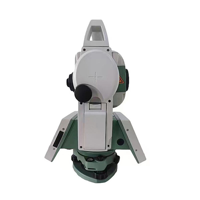
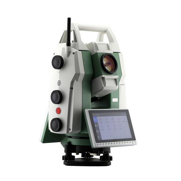
total station used in surveying
A total station is an advanced surveying instrument that combines electronic distance measurement capabilities with digital angle measurement technology. This sophisticated device integrates electronic transit theodolite functionality with electronic distance measurement, allowing surveyors to determine both horizontal and vertical angles, as well as slope distances from the instrument to a specific point. Modern total stations feature built-in computers, digital data collectors, and specialized software that enable automatic calculation of coordinates, elevations, and distances. The instrument's precision stems from its ability to emit infrared light or laser beams that reflect off a prism target, measuring distances with millimeter-level accuracy. Total stations typically include features such as automatic target recognition, robotic operation capabilities, and wireless communication options for real-time data transfer. These instruments are extensively used in construction projects, topographic mapping, boundary surveys, and infrastructure development. The device's versatility allows it to perform tasks ranging from basic distance and angle measurements to complex 3D modeling and stake-out operations. With integrated GPS technology in many modern models, total stations can provide comprehensive positioning solutions that combine traditional surveying methods with satellite-based measurements.